
Knowledge is power to act
Natural disasters
Home > Natural disasters
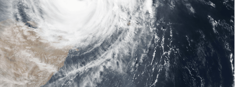
Responding to natural disasters
- Real-time hazard map and location of shelters/safe places
- Real-time geolocation of people at risk
- Alerting people in at-risk areas
- Real-time monitoring and anticipation of disaster progress
Planning to anticipate through preventive actions
- Identifying the vulnerabilities of the territory (digital twin, historical analysis and simulation of previous natural disasters…)
- Anticipation and identification of shelters/safe places to protect the population
- Real-time mapping of risks and potential impacts regarding disasters